Services
From site analysis to spatial data management, the types of GIS mapping services available are diverse and can be tailored to meet the unique needs of various industries and applications.
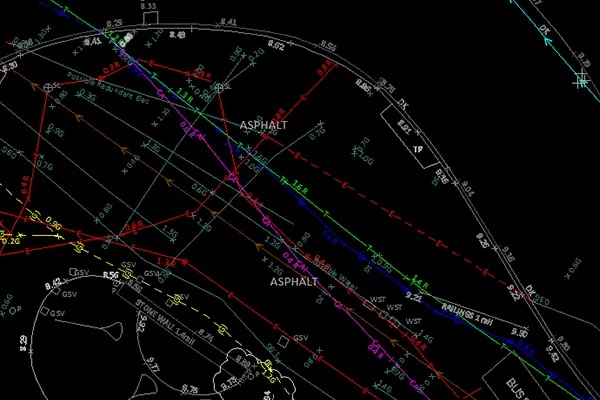
Utility Mapping
Geographic information systems, or GIS, are widely used by the utility industry for remote sensing utility mapping services and computer-aided design, or CAD and drafting technologies, for efficient operation. With years of experience, Polosoft Technologies offers specialized and effective GIS services for various utility industries, including electricity, water, gas, sewage, and telecom.
Read More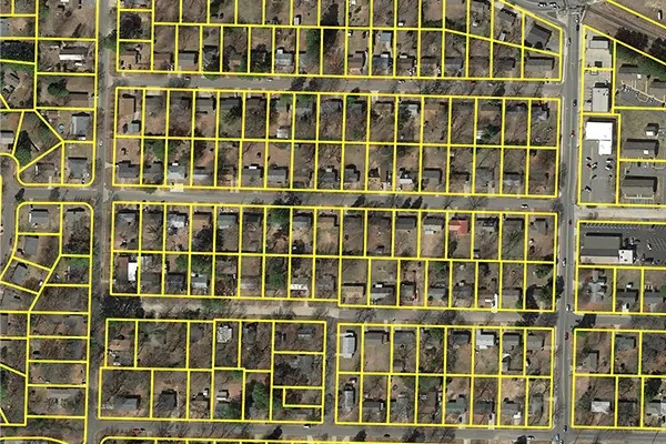
Parcel Mapping
Parcel mapping is a technique for creating land parcels using GIS mapping for efficient and accurate land management. Parcel mapping has a variety of implementations in various industries like land administration & land registration by urban and rural governing agencies. Municipality planning & urban development. The most fundamental data layers used as a point of reference are the land parcels.
Read More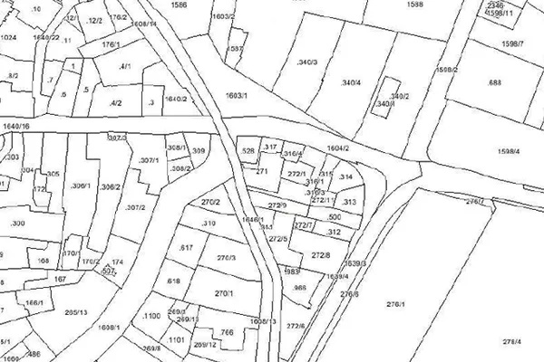
Cadastral Mapping
Cadastral mapping is a record of the details related to the properties in an area. The cadastral mapping services used to create the maps make it simple to handle public land records. National and local governmental bodies, real estate developers, architecture, engineering firms, and industries make proactive use of cadastral mapping services for making better decisions.
Read More
Indoor Mapping
Indoor mapping makes it easier for industries to navigate from one point to another within a building premise. The usage of indoor mapping prevents the user from becoming lost and confused inside a large, complicated building. With the development of IoT-enabled smart buildings, Polosoft creates multidimensional digital maps by superimposing various data layers to create scalable, location-aware apps.
Read More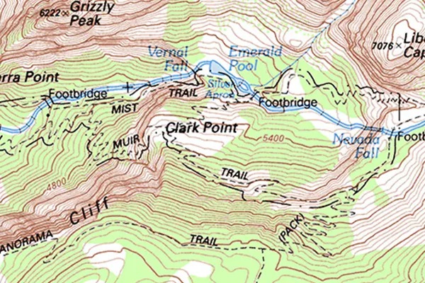
Topographical Mapping
Industries are helped by topographical mapping when it comes to choosing the most efficient route from one location to another. To better understand an area's elevation, topographical mapping uses contour lines to map the topography. Topographic maps are utilized in a variety of applications, including energy exploration, resource conservation, public works design, environmental management, and commercial and residential development.
Read More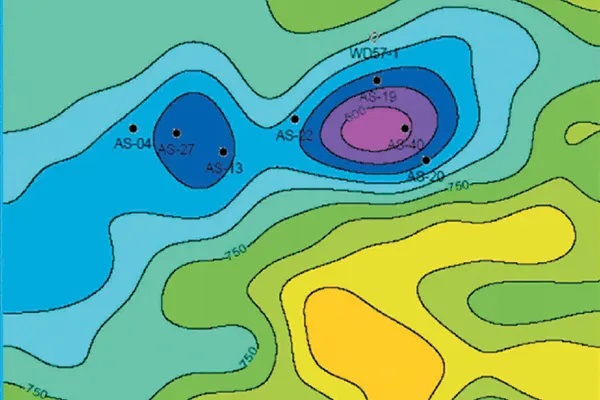
Geological Mapping
Geological mapping, which is based on an integrated analysis of satellite, geochemical, and geophysical data, provides early information about bedrock geology, assisting geologists in their planning before fieldwork. Polosoft Technologies has a wealth of experience in delivering GIS services to the mining industry as well as businesses and industries involved in excavation and mineral management.
Read More